Why Berlin Still Feels Like Two Cities: East vs West
By the AllTrips Editorial Team · Updated · 11 min read
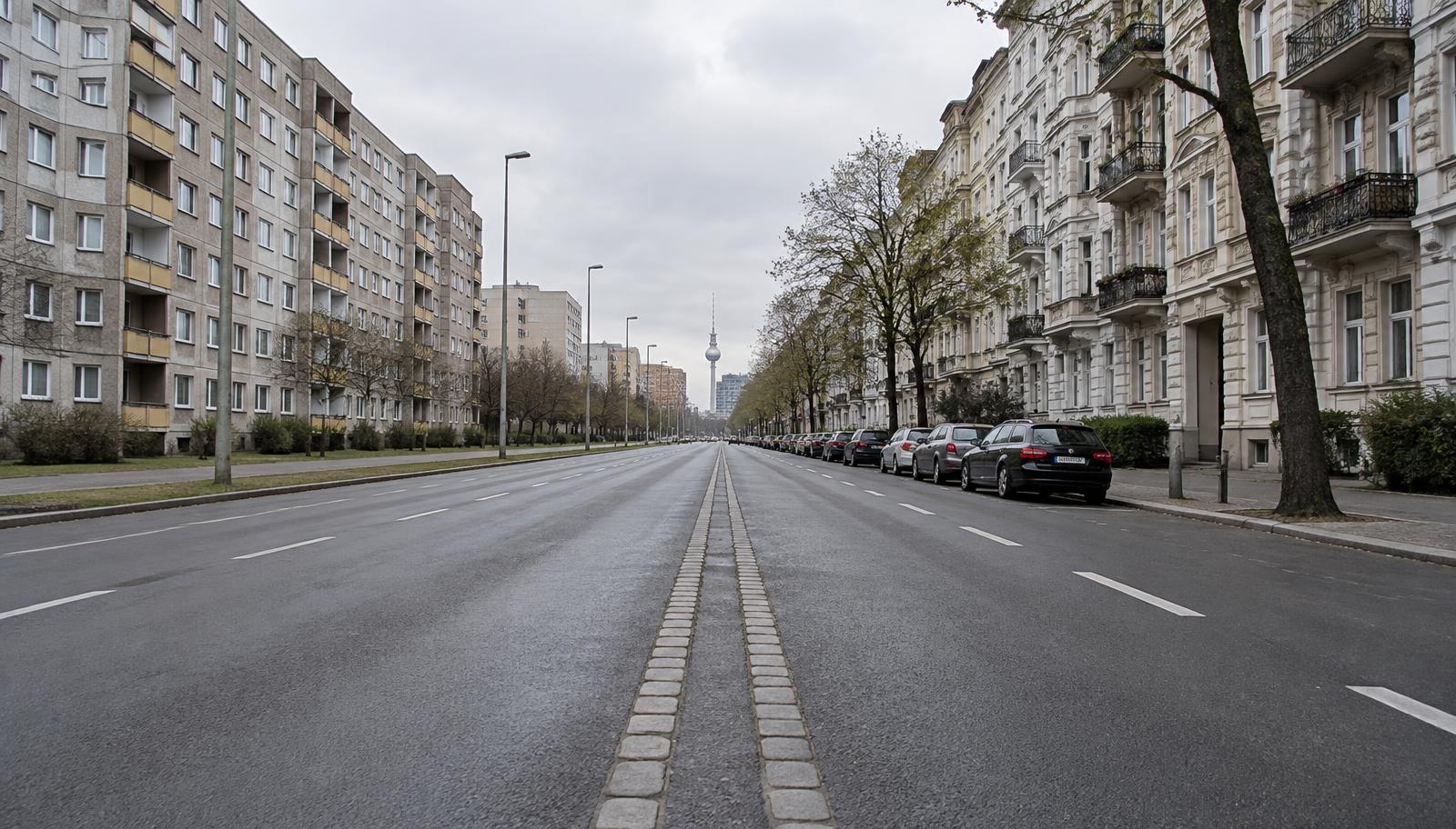
Walk east from Potsdamer Platz and something gradually shifts. The buildings change height. The street gets wider than it needs to be. Trams start appearing. The street lamps can glow a different colour at night, and in places even the little green man on the pedestrian crossing wears a hat. Nothing announces it, and the change is rarely a sharp line — but over a few blocks you have moved from West Berlin into East Berlin, a border that stopped existing in 1990 and is still, in many places, legible.
The Berlin Wall stood for 28 years, from 13 August 1961 to 9 November 1989. It ran roughly 155 km in total, about 43 km of it straight through the built-up city, and the rest sealing West Berlin off from the surrounding East German countryside. West Berlin was not the western half of a country — it was an island, entirely enclosed. That single fact explains most of what looks strange about the city today.
Where did the Berlin Wall run?
Start by learning to spot the marker. Across central Berlin, a double row of cobblestones set into the asphalt traces where the Wall stood. It crosses roads, pavements, squares and car parks, and it is easy to walk over a dozen times without noticing. Bronze plaques reading Berliner Mauer 1961–1989 appear along it at intervals.
Once you see the line, the city rearranges itself in your head. That blank plaza you crossed was the death strip. That building with no windows on one side faced the border. That suspiciously new office block sits where nothing could be built for three decades. The Wall was never a single wall either: on the eastern side there was an inner wall, a raked sand strip, floodlights, patrol road, anti-vehicle obstacles, watchtowers and then the outer wall that Westerners painted graffiti on. The gap between them was often 30 to 100 metres wide. That border strip explains some of the unusually open spaces and newer development corridors along the former Wall. Elsewhere, especially around Karl-Marx-Allee, the scale comes from deliberate East German urban planning rather than the Wall itself. The Berlin Wall Memorial's official information confirms the Wall ran roughly 155 km around West Berlin.
Why do East and West Berlin streets look different?
After 1945 Berlin was rebuilt twice, by two governments answering to two ideologies, on either side of a line drawn through the same city.
East Berlin built representative socialist urbanism: enormous axial boulevards like Karl-Marx-Allee, ceremonial squares, and from the 1970s a huge programme of Plattenbau — prefabricated concrete panel housing, assembled fast and repeated identically across whole districts. Private commerce played a much smaller role than in West Berlin, while many ground floors were occupied by state-run shops and services — or contained fewer commercial units altogether. The result reads as spacious, monumental and slightly empty.
West Berlin mostly rebuilt on the old street grid, kept the dense 19th-century Altbau blocks that survived the bombing, and filled the gaps with modernist infill and commercial frontages. It also received Marshall Plan money and, later, heavy West German subsidies to keep the isolated city alive. Kurfürstendamm became the shopping street that Alexanderplatz was never designed to be.
Neither pattern got erased in 1990. Karl-Marx-Allee is still 90 metres wide. Much of Prenzlauer Berg's Altbau housing survived because comprehensive demolition and replacement were never carried out, despite decay and partial redevelopment plans; after reunification the district was extensively renovated and is now among the most expensive in the city, which is one of Berlin's better jokes.
How can you tell East from West Berlin today?
Three small tells give the old border away better than any monument.
- Trams. West Berlin scrapped its tram network in favour of buses and the U-Bahn by 1967; East Berlin kept and expanded its trams. Today's tram network remains overwhelmingly concentrated in the former East, although several lines have since been extended west of the old border, including to Hauptbahnhof and Moabit.
- Street lighting. The East installed sodium-vapour lamps that glow warm yellow-orange; large parts of the West used cooler, whiter fluorescent and mercury-vapour lighting. Photographed from the ISS at night, the division is visible from orbit — though the LED replacement programme is slowly erasing it, so this is a tell with an expiry date.
- The Ampelmännchen. The hat-wearing pedestrian figure originated in East Germany and survived reunification as a much-loved Berlin symbol. You will still encounter it frequently in the former East, although it has also spread into former West Berlin and can no longer reliably identify which side you are on.
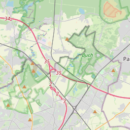
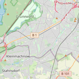
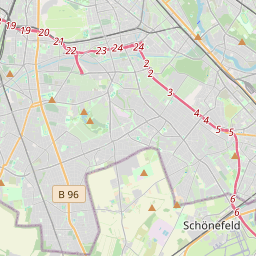
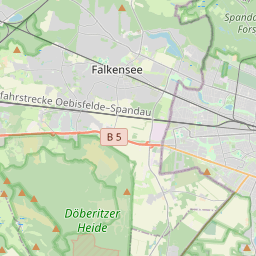
Map: Berlin Wall and Cold War sites worth visiting
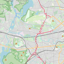
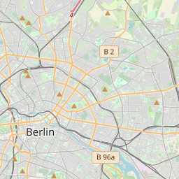
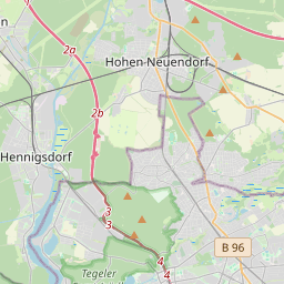
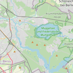
Fourteen places that make the division legible — memorials, museums, surviving wall, and streets that only look the way they do because of where the border ran. Tap any pin for what it is and a Google Maps link.
 📍
📍
📍
🏺
📍
🏺
📍
🏺
🏺
🏺
📍
💎
📍
💎
+− Leaflet | © OpenStreetMap contributors
📍
📍
📍
🏺
📍
🏺
📍
🏺
🏺
🏺
📍
💎
📍
💎
+− Leaflet | © OpenStreetMap contributors1. Berlin Wall Memorial, Bernauer Strasse
A preserved section shows the border strip and watchtower; the wider memorial marks lost structures. Free, outdoors.
2. East Side Gallery
1.3 km of original wall painted by artists in 1990. Busiest at midday; go early.
3. Checkpoint Charlie
The famous crossing point — now a replica guardhouse in a very touristy square.
4. Topography of Terror
Gestapo HQ site with a long stretch of original wall along Niederkirchnerstrasse. Free.
5. Brandenburg Gate
Stranded inside the death strip for 28 years — nobody could walk through it.
6. Tränenpalast (Palace of Tears)
The Friedrichstrasse departure hall where East and West said goodbye. Free museum.
7. Potsdamer Platz wall segments
A dead no-man's-land until 1989, rebuilt from scratch in the 1990s. Wall pieces on the square.
8. Stasi Museum (Lichtenberg)
Erich Mielke's preserved original offices inside the former Ministry for State Security.
9. Stasi Prison Hohenschönhausen
The former prison complex is visited on a guided tour, often led by former inmates; exhibitions and visitor facilities may have separate access arrangements. English tours are limited, so book ahead.
10. DDR Museum
Hands-on everyday life in East Germany — Trabant, kitchens, holiday camps. Very busy.
11. Karl-Marx-Allee
East Berlin's socialist showpiece boulevard — 90 m wide, tiled 'workers' palaces'.
12. Mauerpark
Former death strip, now a park with a surviving wall section, karaoke and a Sunday flea market.
13. Oberbaumbrücke
A controlled border crossing between Friedrichshain (East) and Kreuzberg (West), used particularly for pedestrian movement under specified agreements.
14. Glienicke Bridge
The 'Bridge of Spies' between Berlin and Potsdam, used for Cold War agent exchanges.
If you only have time for one, make it the Berlin Wall Memorial on Bernauer Strasse. It explains the border system better than anywhere else: a preserved section of the outer wall and border strip with a watchtower, markers and traces where the structures no longer survive, and an observation deck that lets you look down on the layout the way the guards did.
How can you see the Berlin Wall in one day?
This is a highlights route rather than a complete tour of divided Berlin — it deliberately skips outlying sites so the day stays walkable. Times are illustrative; check each site's official opening days before you set out.
- 09:00 — Bernauer Strasse. Start at the Berlin Wall Memorial while it is quiet. Allow 1.5 hours including the documentation centre and the tower.
- 11:00 — Nordbahnhof "ghost station" exhibition, then S-Bahn or a 25-minute walk south to Friedrichstrasse.
- 11:45 — Tränenpalast. Free, small, and the most human of the museums: the actual hall where families were separated.
- 13:00 — Brandenburg Gate, with the Memorial to the Murdered Jews of Europe a short walk away — a separate Holocaust memorial site, not part of the Wall story — then walk south along the cobblestone line.
- 14:00 — Topography of Terror with the long original wall stretch on Niederkirchnerstrasse. Free, allow an hour.
- 15:15 — Checkpoint Charlie. Fifteen minutes is plenty; it is a replica in a commercial square. The nearby Wall Museum is optional and divisive.
- 16:30 — East Side Gallery (U1/S-Bahn to Warschauer Strasse). Late-afternoon light, fewer coach groups, and the Oberbaumbrücke right there.
- Evening — Friedrichshain or Kreuzberg for dinner, on opposite banks of the river that used to be the border.
That is a full day: roughly 7–9 km on foot plus two or three short S-Bahn and U-Bahn hops. The Stasi Museum, Hohenschönhausen and Glienicke Bridge sit well outside this loop and deserve a second day.
| Stop | Suggested time | Admission | Booking |
|---|---|---|---|
| Berlin Wall Memorial | 60–90 min | Free | No |
| Tränenpalast | 30–45 min | Free | Usually no |
| Topography of Terror | 60 min | Free | No |
| Checkpoint Charlie | 15–30 min | Outdoor site free | No |
| East Side Gallery | 45–60 min | Free | No |
What do East and West Berlin feel like now?
The cliché that the East is grey and the West is rich stopped being true a long time ago. In central Berlin the flow reversed: Mitte, Prenzlauer Berg and Friedrichshain — all East — became the most gentrified districts in the city, while western areas like Wedding and parts of Neukölln stayed cheaper. What survives is not wealth but grain: eastern districts still read as wide, planned and open; western ones as tighter, older and more commercial.
Further out the older pattern holds better. Marzahn and Hellersdorf are Plattenbau landscapes on a scale nothing in the West matches, and Zehlendorf's villa suburbs are unmistakably West. It is worth riding one tram line east and one S-Bahn line west just to watch the city change character through a window.
What mistakes do visitors make in Berlin?
- Treating Checkpoint Charlie as the main Wall site. It is the most photographed and the least informative. Bernauer Strasse is where the history actually is.
- Expecting the East Side Gallery to be sombre. It is an open-air art project created in 1990 on a surviving section of the inner, East Berlin-side border wall. Unlike the western face of the outer Wall, this section had not previously been covered in Western graffiti. It is celebration, not memorial.
- Booking Hohenschönhausen on the day. The former prison is visited on a guided tour and English tours are limited, so reserve ahead and check the current schedule on the official Hohenschönhausen Memorial website.
- Doing everything in Mitte. The division makes far more sense once you leave the centre in both directions.
- Ignoring the ghost stations. West Berlin U-Bahn lines ran under East Berlin without stopping, past sealed, guarded platforms. Nordbahnhof explains it well and costs nothing.
FAQ
Can you still see the Berlin Wall today?
Yes. The longest preserved stretches are the East Side Gallery in Friedrichshain, Niederkirchnerstrasse at the Topography of Terror, and the Berlin Wall Memorial on Bernauer Strasse. The memorial explains the border system best: a roughly 70-metre section shows the border strip and a watchtower within a 1.4-kilometre memorial site.
How do I know where the Berlin Wall stood?
Follow the double row of cobblestones set into the road surface. It marks the former course of the Wall across central Berlin, and bronze plaques reading 'Berliner Mauer 1961–1989' appear at intervals along it. You can trace it easily around Potsdamer Platz, the Brandenburg Gate and Checkpoint Charlie on foot.
Which side of Berlin was East and which was West?
East Berlin included Mitte, Prenzlauer Berg, Friedrichshain, Pankow, Lichtenberg, Treptow, Köpenick and Marzahn. West Berlin included Kreuzberg, Neukölln, Charlottenburg, Schöneberg, Spandau, Wedding, Tiergarten and Tempelhof, and was surrounded by East German territory. Modern boroughs merge some eastern and western areas, so today's names can mislead.
Is one day enough to see the Berlin Wall sites?
One full day covers the essentials: Bernauer Strasse in the morning, the Topography of Terror and Checkpoint Charlie around midday, and the East Side Gallery in the afternoon. Adding the Stasi Museum, Hohenschönhausen prison or Glienicke Bridge realistically needs a second day, because they sit further out from the centre.
Are the Berlin Wall memorials free?
The main outdoor sites are free: the Berlin Wall Memorial, the East Side Gallery, the Topography of Terror and Mauerpark. The Tränenpalast is also free. Indoor museums such as the DDR Museum and Hohenschönhausen tours charge admission, so check current prices and whether the tours need booking before you go.
Why do East and West Berlin streets look so different?
Two states rebuilt them with different ideas. East Berlin favoured wide boulevards and prefab housing; West Berlin kept the old street grid, private shopfronts and later 1970s–80s infill. Bomb damage, budgets and separate utilities did the rest. There are many exceptions, so building period often explains a street better than which side it was.
Official sources
- Berlin Wall Memorial, Bernauer Strasse — official visitor information
- Topography of Terror — official site
- Hohenschönhausen Memorial — tours and opening times